TEL MEVORAKH
- sholomraskin
- May 9, 2023
- 1 min read
Updated: May 12, 2024

(my videos from this travel)
Details
Tel Mevorakh ~~~ Google Maps
Aqueduct ~~~ Google Maps
Flour Mill ~~~ Google Maps
View of the Mine ~~~ Google Maps
I went to the following places as one hike, they are near each other. Each individual place is a Tier 3, but if you combine them all, it is a Tier 2.
The duration of the full hike was 5-6HR
Tel Mevorakh then Horvat Akav then Ramat Hanadiv then Horvat Alec then Jabotinsky Park then Binyamina
-Tel Mevorakh was a small city that was founded 3000 years ago. Currently, the place has not been identified. There are bearly any remains there.
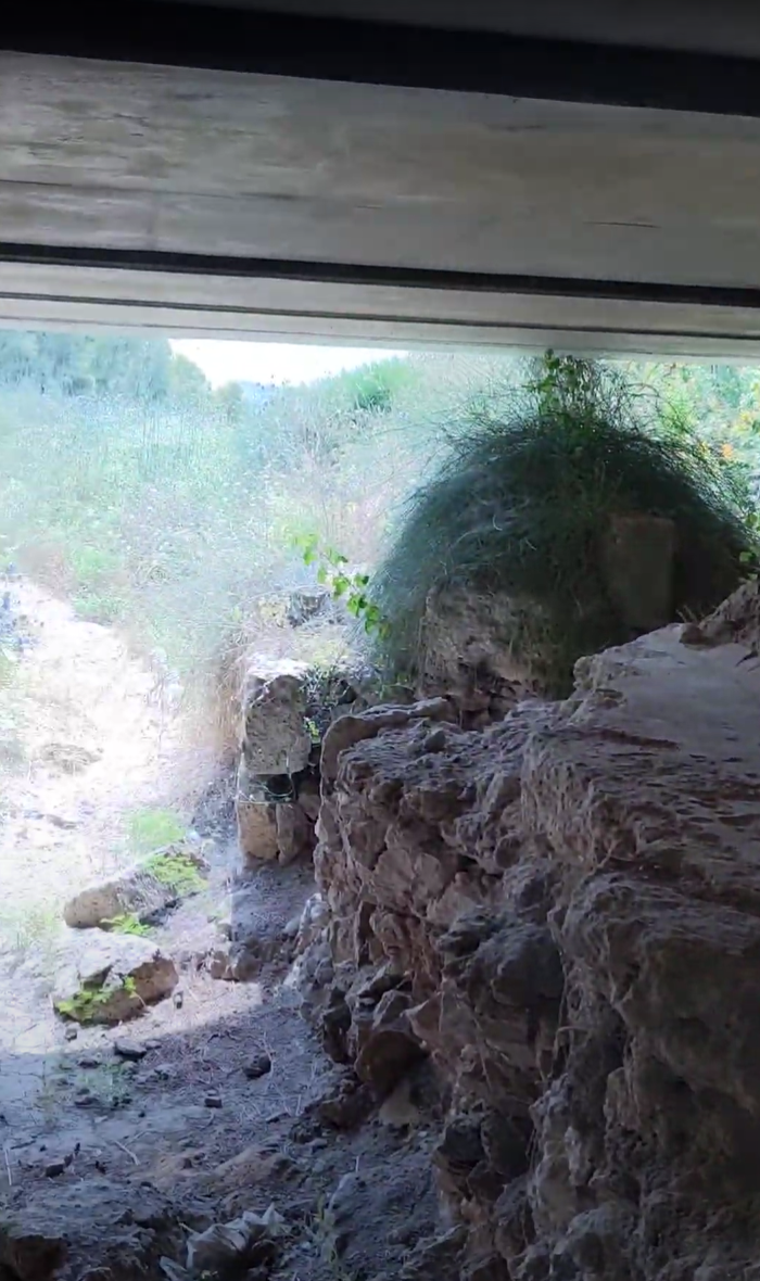
-Nearby, are the remains of the aqueduct that goes to Caesarea later on. On the aqueduct is an inscription that says Emperor Hadrian (on the right), and an inscription of the 10th Legion (on the left).
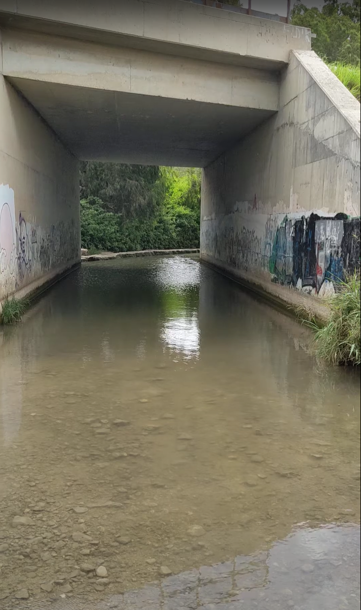
-Afterwards, I went underneath the highway, where the aqueduct still extends, and headed to an ancient flour mill.
-Afterwards, I crossed a small stream called the Nahal Taninim stream and headed up the mountain on the left. There you can see the remains of a mine.
Archeological | 3/5 |
Historical | 2/5 |
Nature | 3/5 |
Views | 2/5 |